Search This Blog

Monday, December 12, 2016

One day Pilot trek to Toraniyo Hill 0n 12/12/2016

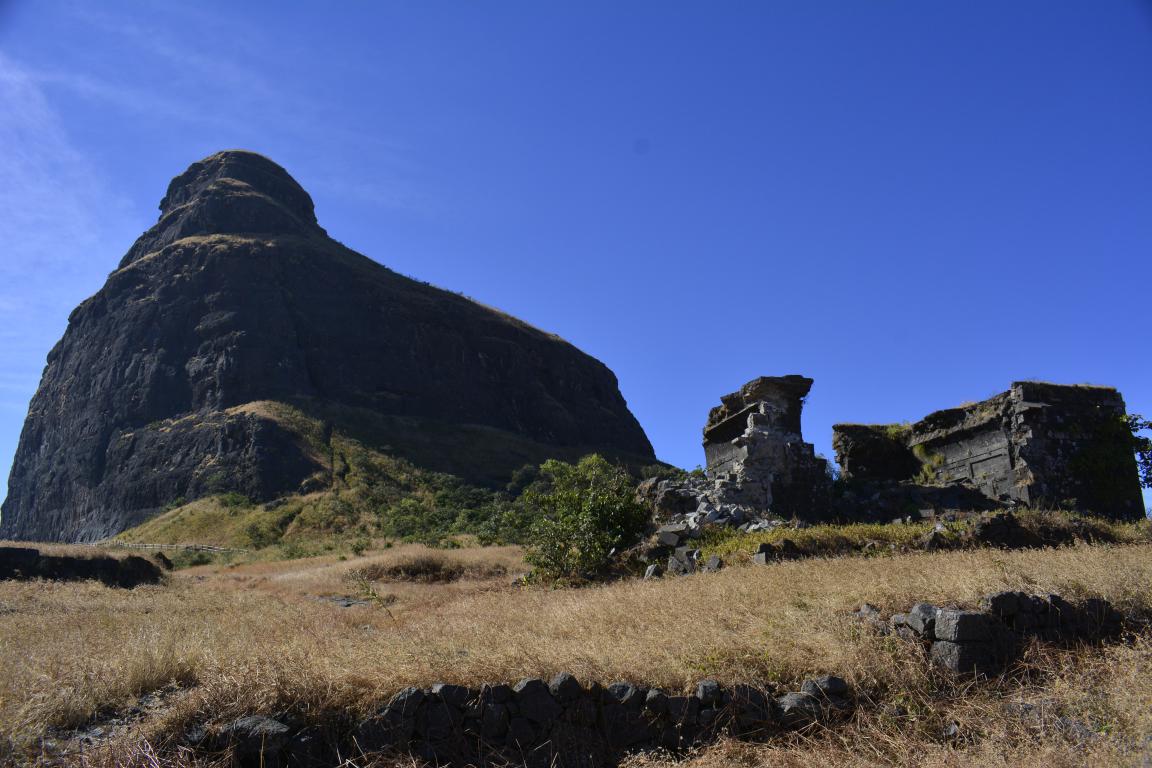
Toraniyo hill is a small mount situated near Vasda National Part...  A floating stone is visible in temple at the top.

We did this pilot trek for One-Day Family Trek on coming Sunday...

Nice place to be there or have a one day outing..

Some Pics:


Saturday, December 10, 2016

2 Days Trek to Dhodap Fort with Saptasringi Mataji Darshan on 10-11/12/2016 International Mountain Day..

Dhodap fort trek on International Mountain Day:

Great trek with 21 enthusiast trekkers and luckily it was International Mountain Day on 11/12/2016! ... Started the trek at 10:45 hrs, reached top at 14:30 hrs, explored the fort and started return journey at 15:45 hrs, reached base at 18:15 hrs... 

General information:

Dhodap is one of the important hill forts in Maharashtra state in India. Situated in Kalwan taluka in the Nashik district. The fort is 4761 ft (1451 mt) above sea level. It is the site of the second or third highest fort (Still there is confusion between Salota and Dhodap about height. Salota claims to be 1478 mt :4927 ft) in the Sahyadri mountains after Salher. Dhodap hill is the third highest hill peak in Maharashtra after Kalsubai and Salher (?) and the 29th highest peak (?) in Western Ghats.

Location:

The base village is called as Dhodambe(South) and Otur(North) from where one can start to climb the fort.

The fort is 42 km to the Nashik, about 3 km from Hatti Village, 2 km from Otur village in the Satmala range, Nasik region of Sahyadris.

When travelling from Nashik to Malegaon on highway NH-3, one can see this fort from a distance, from villages Shirwade-Wani, Khadak-Jamb, Vadali-bhoi and Sogras. One simple route is Nashik to Kalwan (70 km) and Kalwan to Otur (8 km). 
 And from Surat, reach Nanduri (12 km via Athambe village) or Kalwan (8 km), proceed to Otur village...

The fort is recognizable for its typical shape.

Parts of the fort:

The top of the fort was built using a combination of dressed stone and brickwork. 

There is a tank with an idol of Lord Hanuman and a tunnel 5m wide. The fort has a pointed cliff named Shembi. One can find caves at the base. One end of the fort shows a domical structure. The eastern face shows a fearsome cliff named Ikhara which is ideal for rock climbers.

One temple situated in one of the caves is in good condition. A few other caves are also seen around and are quite big in size. Also the trunk of Dhodap fort is in good condition.

One of the most interesting things is that there is a "cow of stone" moving inside this hill. It's heard by the peoples in the nearby villages that on every Vasubaras, this cow moves inside by the distance of four grains.

History:

In 1533, it was under Burhanpuri Nizamshah and in 1635 it was with a Mughal General Aliwardi Khan. Maraths captured it in 1671 and was with them till 1818. Then afterwards it was handed over to Britishers.

The fort played an important role during the Peshwa period. It was here that Raghobadada Peshwa hatched a plot against Madhavrao Peshwa.

During return travel from the second invasion from Surat, Ch. Shivaji had visited here, presumably for keeping the treasure. A few days later, the battle of Dindori took place.

Routes:

One can climb the fort from three routes: (1) from the Dhodambe village side, (2) from the Deola side and (3) Otur village side. 

From Pune the route can be as Pune to Nashik (road/rail, 202 km) - Dhodambe (road, 40 km) - Hatti (road, 3 km). 

From Surat, the route can be from Nanduri (14 km) or Kalwan (8 km) to Otur village.

Tourism:

This fort is a good site for trekkers and adventurous tourists to visit. Accommodation can be arranged at the base village with the help of local villagers. Very little Water is available at the top. Therefore, carry enough water while climbing this fort.

Some Pics:


Sunday, October 23, 2016

One day trek to Salota Fort on 23/10/2016


History

No separate history is known about this fort.The fort is adjoining the Salher fort. This part of hill was fortified to provide additional protection from the enemy.  The twin fort Salota (4986 feet) is very near to Salher.

Places to see

The fort can be reached after a streatchous climbing of the hill. There are three doors in a line which lead to the main part of the fort. There are two rock-cut water cisterns on the fort.To climb up to the top of the fort require climbing equipment.[1]

How to reach

The nearest village is Waghambe. A continuous trek from Waghambe lead to the col between the Salota and Salher fort. It is about 1.5hr walk from Waghambe[2] A narrow path towards west leads to the Salota. It is better to hire a local guide from the village.There is no place to make a comfortable stay on the fort. Many trekkers prefer to keep their heavy ruck sack at the col and climb the Salota fort first then ascend down, pick up the ruck sack and make a night stay on the Salher fort.

Some pics of the trek....